The Great Dividing Range
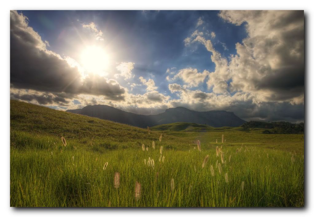
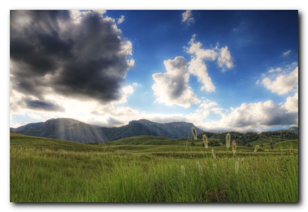
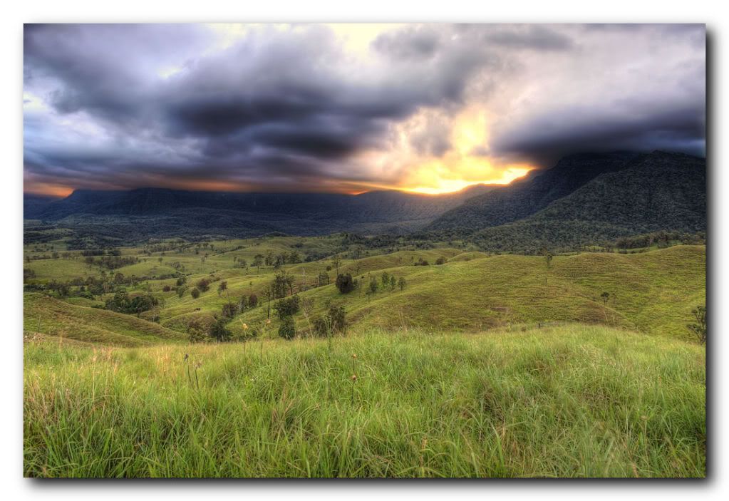
The Great Dividing Range, or the Eastern Highlands, is Australia's most substantial mountain range and the third longest in the world. The range stretches more than 3,500 km (2,175 mi) from Dauan Island off the northeastern tip of Queensland, running the entire length of the eastern coastline through New South Wales, then into Victoria and turning west, before finally fading into the central plain at the Grampians in western Victoria. The width of the range varies from about 160 km to over 300 km.
The Dividing Range does not consist of a single mountain range. It consists of a complex of mountain ranges, plateaus, upland areas and escarpments with an ancient and complex geological history. The physiographic division name for the landmass is called the East Australian Cordillera.
The crest of the range is defined by the watershed or boundary between the drainage basins of rivers which drain directly eastward into the Pacific Ocean, or southward into Bass Strait, and those rivers which drain into the Murray-Darling River system towards the west and north. In the north, the rivers on the west side of the range drain towards the Gulf of Carpentaria.
The higher and more rugged parts of the "range" do not necessarily form part of the crest of the range, but may be branches and offshoots from it. The term "Great Dividing Range" may refer specifically to the watershed crest of the range, or to the entire upland complex including all of the hills and mountains between the east coast of Australia and the central plains and lowlands. Notable ranges and other features which form part of the range complex have their own distinctive names.
The ranges were originally home to Australian Aboriginal tribes. Evidence remains in some places of their occupation by decorated caves, campsites and trails used to travel between the coastal and inland regions.
After European settlement in 1788, the ranges were an obstacle to exploration and settlement by the British settlers. Although not high, parts of the highlands were very rugged.
In 1813, a usable route was finally discovered directly westward from Sydney across the Blue Mountains to Bathurst by the party of Gregory Blaxland, which included William Lawson and William Charles Wentworth. (Towns in the Blue Mountains were later named after each of these men.) This was the start of the development of the agricultural districts of inland New South Wales. Easier routes to inland New South Wales were discovered towards Goulburn to the southwest, and westwards from Newcastle.
Subsequent explorations were made across and around the ranges by Allan Cunningham, John Oxley, Hamilton Hume, Ludwig Leichhardt and Thomas Mitchell. These explorers were mainly concerned with finding good agricultural land.
By the late 1830s the most fertile rangelands adjacent to the mountains ranges had been explored and some settled. These included the Gippsland and Riverina regions in the south, up to the Liverpool Plains and the Darling Downs in the north.
Various road and railway routes were subsequently established through many parts of the ranges, although many areas remain remote to this day. For example, in eastern Victoria there is only one major road crossing the highlands from north to south.
Enjoy!
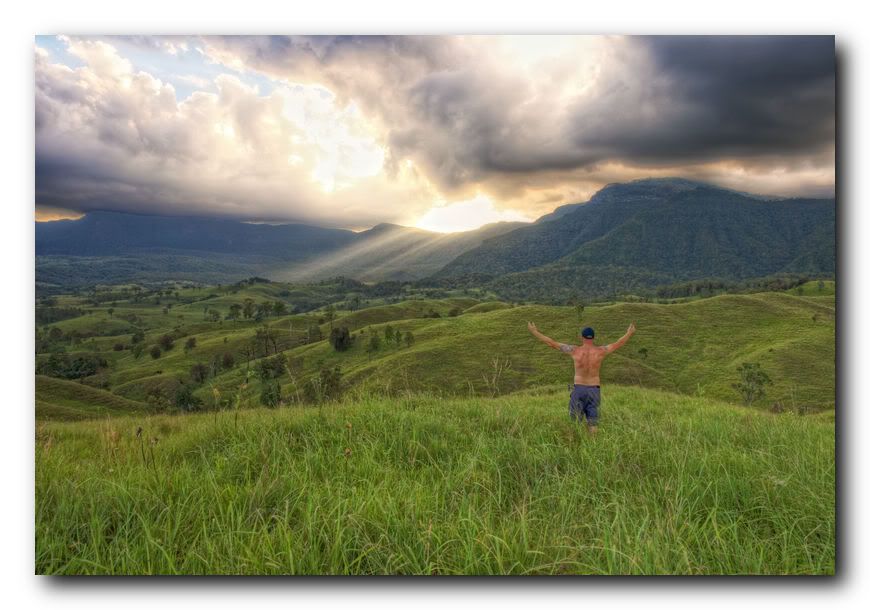
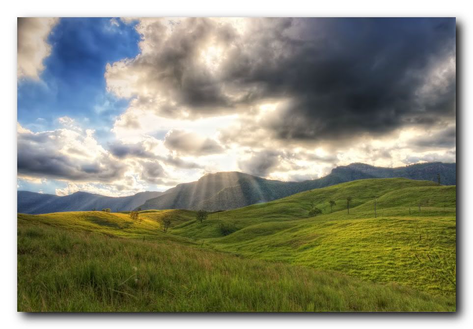
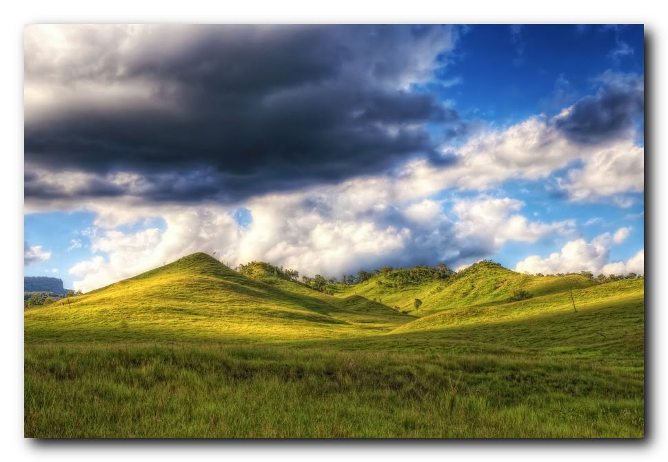
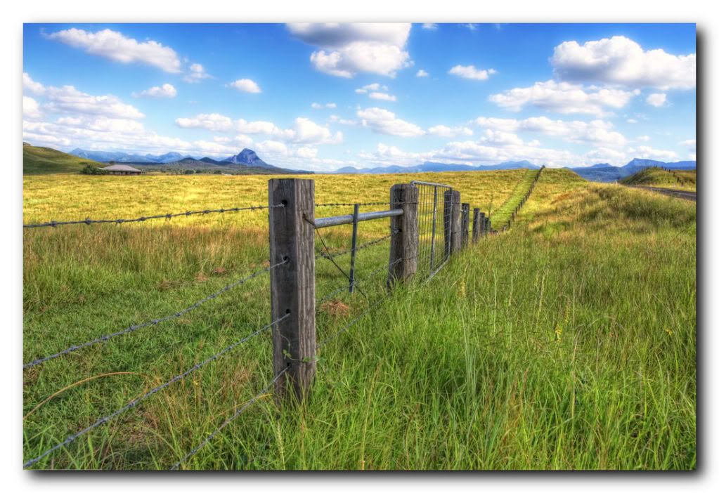
Steve.
The Dividing Range does not consist of a single mountain range. It consists of a complex of mountain ranges, plateaus, upland areas and escarpments with an ancient and complex geological history. The physiographic division name for the landmass is called the East Australian Cordillera.
The crest of the range is defined by the watershed or boundary between the drainage basins of rivers which drain directly eastward into the Pacific Ocean, or southward into Bass Strait, and those rivers which drain into the Murray-Darling River system towards the west and north. In the north, the rivers on the west side of the range drain towards the Gulf of Carpentaria.
The higher and more rugged parts of the "range" do not necessarily form part of the crest of the range, but may be branches and offshoots from it. The term "Great Dividing Range" may refer specifically to the watershed crest of the range, or to the entire upland complex including all of the hills and mountains between the east coast of Australia and the central plains and lowlands. Notable ranges and other features which form part of the range complex have their own distinctive names.
The ranges were originally home to Australian Aboriginal tribes. Evidence remains in some places of their occupation by decorated caves, campsites and trails used to travel between the coastal and inland regions.
After European settlement in 1788, the ranges were an obstacle to exploration and settlement by the British settlers. Although not high, parts of the highlands were very rugged.
In 1813, a usable route was finally discovered directly westward from Sydney across the Blue Mountains to Bathurst by the party of Gregory Blaxland, which included William Lawson and William Charles Wentworth. (Towns in the Blue Mountains were later named after each of these men.) This was the start of the development of the agricultural districts of inland New South Wales. Easier routes to inland New South Wales were discovered towards Goulburn to the southwest, and westwards from Newcastle.
Subsequent explorations were made across and around the ranges by Allan Cunningham, John Oxley, Hamilton Hume, Ludwig Leichhardt and Thomas Mitchell. These explorers were mainly concerned with finding good agricultural land.
By the late 1830s the most fertile rangelands adjacent to the mountains ranges had been explored and some settled. These included the Gippsland and Riverina regions in the south, up to the Liverpool Plains and the Darling Downs in the north.
Various road and railway routes were subsequently established through many parts of the ranges, although many areas remain remote to this day. For example, in eastern Victoria there is only one major road crossing the highlands from north to south.
Enjoy!


Steve.
0
Comments
Photos that don't suck / 365 / Film & Lomography
could you point me in the direction to create the borders/drop shadow effect... still trying to find a tutorial for that... as I personally like the effect
Jase // www.stonesque.com